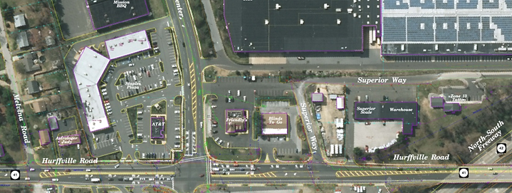
PHOTOGRAMMETRIC MAPPING

The certified photogrammetrists, along with the CADD specialists and technicians at KMA, are able to complete base mapping for various purposes such as planning and feasibility to final design.
KMA has full-service in-house surveying capabilities to support the mapping process.
Photogrammetric mapping is prepared under the direct supervision of an American Society for Photogrammetry and Remote Sensing (ASPRS) Certified Photogrammetrist. Our photogrammetrists adhere to the NJDOT Survey Manual and NJDOT Aerial Photogrammetric Mapping Guidelines.
KMA staff have the capabilities to perform all levels of NJDOT mapping.
KMA’s mapping services include:
-
Procuring aerial photography
-
Low-altitude mapping photography (LAMP)
-
Aerotriangulation
-
CAD production in MicroStation V8/Inroads and AutoCAD
-
Digital Terrain Models (DTMs)
-
Digital Elevation Models (DEMs)
-
Topographic Mapping

